Herrö and Herröskatan
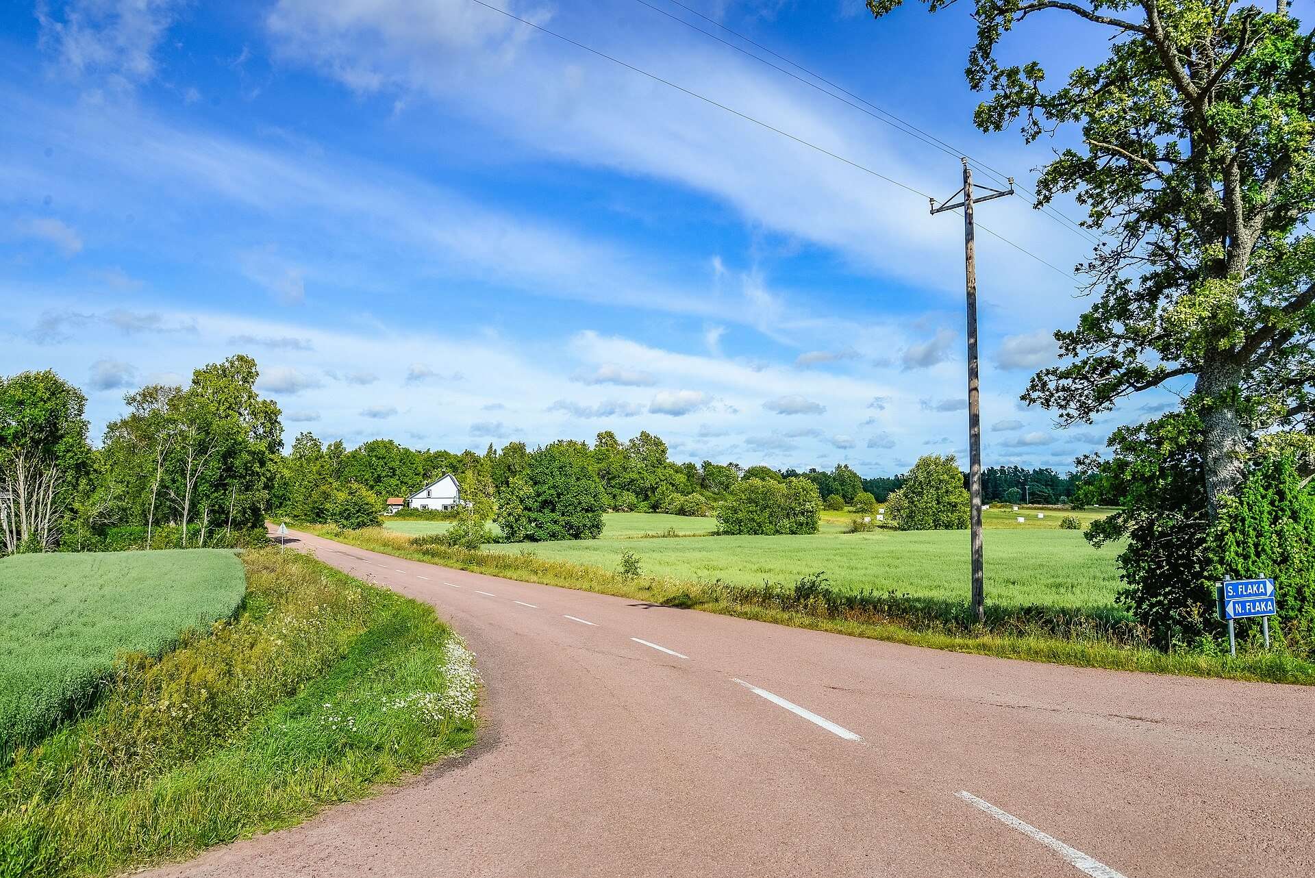
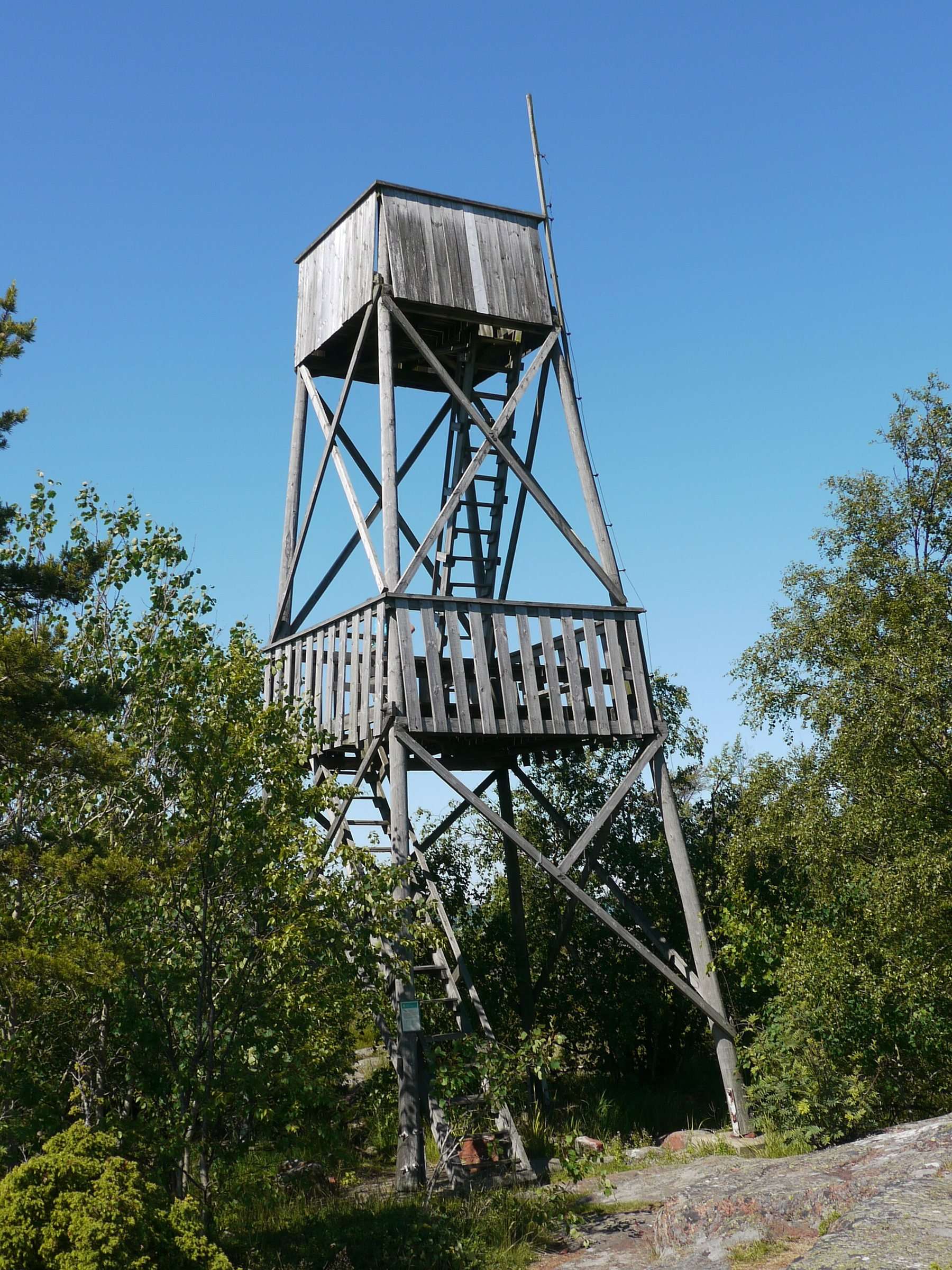
Herröskatan is the southern tip of Lemland and of mainland Åland, about 20 km south-east of Mariehamn on the Åland Islands. It has been a nature reserve since 1987, and a 1.6 km trail across the shore rocks leads to a bird tower overlooking the sea and the shipping lane where the big passenger ferries pass.
Where are Herrö and Herröskatan?
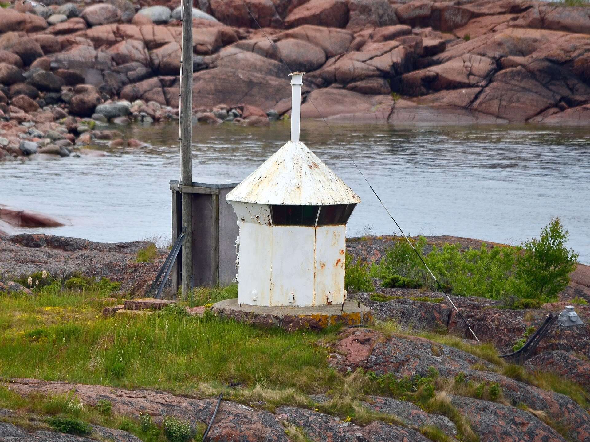
Herröskatan is the headland at the very south of Lemland, which makes it the southernmost point of mainland Åland. It lies about 20 km south-east of Mariehamn. The headland separates Föglöfjärden to the east from Rödhamnsfjärden to the west, and just to the south is the island of Ledskär with a small light.
According to Wikipedia, Herröskatan is also known as Herrön. Lemland’s tourist brochure describes it as the municipality’s southern tip, with flowering meadows and views over the Sea of Åland.
From crown croft to nature reserve
According to Wikipedia, Herrö was formerly a crown estate croft (kungsgårdstorp), and it is listed among the villages on Lemland’s main island. The 1987 decision by the Åland government calls the property Herrö kronoholme. It is owned by the Åland government.
The decision to create the nature reserve was taken on 14 April 1987 and came into force on 1 June that year. Its aim was to protect the landscape and its plant and animal life. It also allows the wooded meadows and ancient monuments to be managed, and nature trails and rest areas to be laid out for visitors.
The bird tower and the view over the shipping lane
The bird tower at Herröskatan was built in 1980 and is about 10 m high, according to Wikipedia. Visit Åland describes a wide view over the sea around the southern tip of mainland Åland.
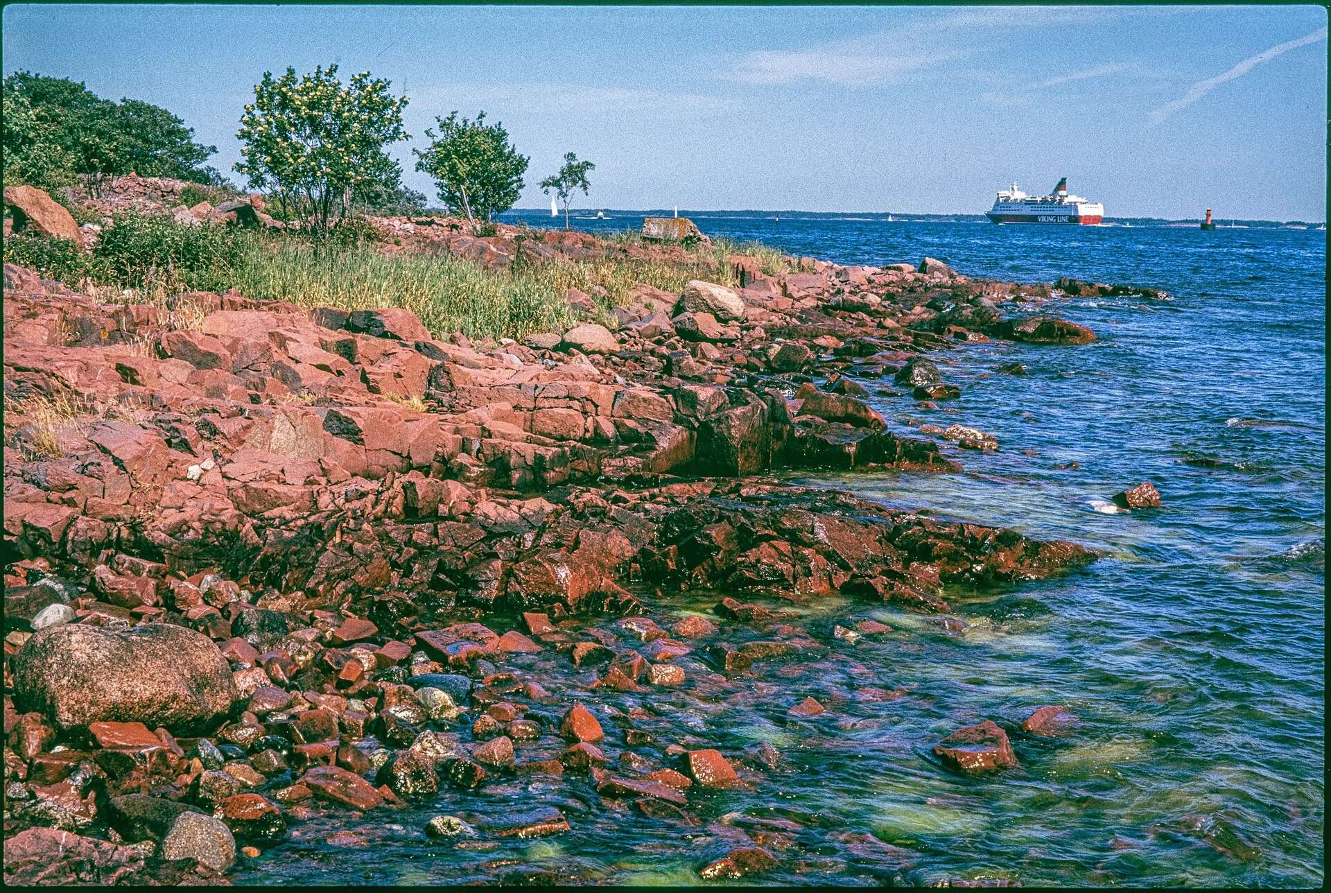
The headland lies on the shipping lane between Turku and Mariehamn, so from the tower and the rocks you can watch the big passenger ferries pass very close to land.
The view over the bays
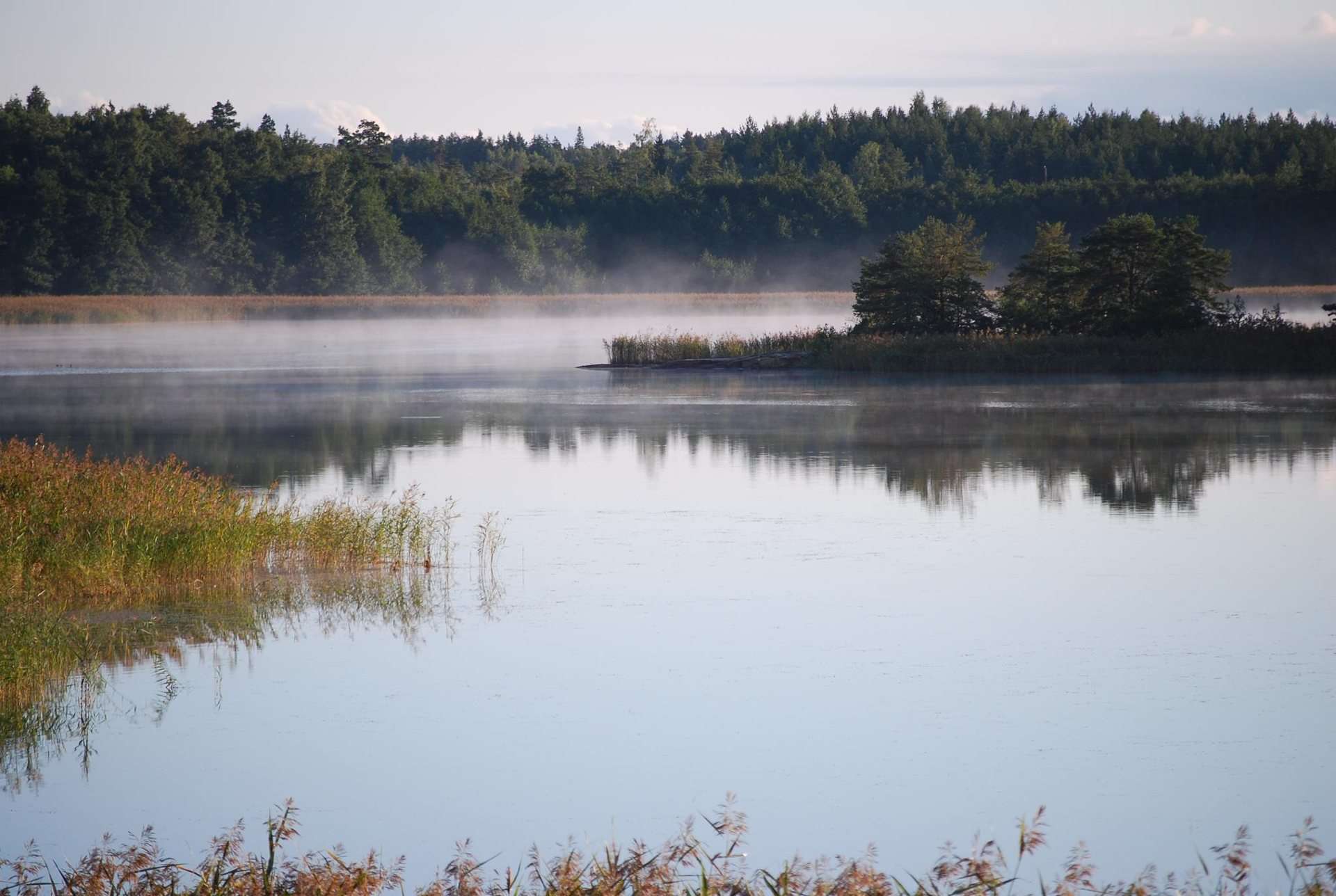
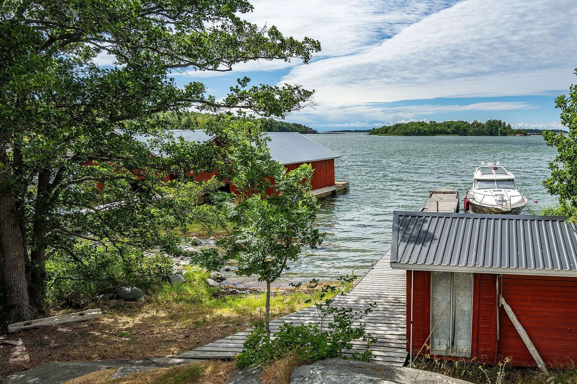
From the headland you look in two directions. To the east lies Föglöfjärden, to the west Rödhamnsfjärden, with the Rödhamn islands further out. Rödhamnsfjärden has a grim history: on 14 December 1916 the steamer Skiftet struck a German mine there, and only five of the 91 people on board survived. Just south of the headland is the island of Ledskär with its small light, and beyond it the Sea of Åland opens up.
The rocks and the trail
The trail over Herröskatan is short and easy:
| Herröskatan trail | According to Visit Åland |
|---|---|
| Length | 1.6 km |
| Terrain | easy, shore rocks |
| Waymarking | white-topped posts |
| Grazing | cattle, May to October |
| Dogs | on a lead |
| Pushchairs | will not get through |
Visit Åland highlights the smooth rock slabs by the water. The site suits children, but since much of the route crosses rock and stones, a pushchair is no help. The meadows are in flower in spring and summer.
Birds at Herröskatan
Herröskatan is a popular spot with birdwatchers. According to Visit Åland, many species can be seen during migration, and nesting birds include common whitethroat, blackcap, thrush nightingale and common rosefinch. Visit Åland also mentions white-tailed eagles. Bring binoculars up the tower.
The fortification ruins
The headland has been fortified several times. According to Visit Åland, the fortress ruins and quays date from the Russian period, 1809 to 1917, and partly from the war years 1939 to 1945, when Finnish troops fortified the area. Lemland municipality notes that Herrö was fortified during the world wars and that ruins remain. Take care around them.
When is a good time to visit?
Herröskatan is open all year. What you see depends on the season:
| Season | What to expect |
|---|---|
| Spring | migrating birds pass and the meadows start to flower |
| Summer | flowering meadows, grazing cattle, smooth rocks by the water |
| Autumn | migration again, grazing continues until October |
| Winter | no grazing animals, windy and cold on the headland |
We have not been able to confirm any facilities at the reserve, so bring water, binoculars and clothes for the weather. Check the weather before you go: the headland is exposed to the open sea.
What are the rules in Herröskatan nature reserve?
The 1987 protection decision (ÅFS 1987:31) prohibits, among other things:
- Camping.
- Lighting fires, except at designated spots.
- Dogs off the lead.
- Removing or damaging trees and other plants.
- Taking sand, gravel, stone or soil.
- Killing, catching or disturbing animals, or damaging nests and eggs.
- Leaving litter, except at designated places.
- Mooring or anchoring a boat, except at designated places.
- Driving snowmobiles or other vehicles off designated roads.
- Parking vehicles, caravans or machinery outside the designated car park.
Visit Åland adds that visitors should stay on the marked trails and not pick berries, mushrooms, plants or stones. Recreational fishing is allowed from 16 June to 31 March with a special fishing permit, under the same decision.
How do you get to Herröskatan?
Herröskatan is about 20 km from Mariehamn. Drive or cycle south through Lemland and park only in the designated car park. For buses to Lemland, see Ålandstrafiken’s timetables and our Getting here guide.
See also
In Lemland’s southern archipelago lies Rödhamn, the old harbour of refuge with its guest harbour and radio beacon museum. Further south in the Sea of Åland stands Lågskär lighthouse. For more ideas in the municipality, see things to do in Lemland.
Frequently asked questions
Where is Herröskatan?
Herröskatan is on the southern tip of Lemland, which is also the southernmost point of mainland Åland, about 20 km south-east of Mariehamn. The headland separates Föglöfjärden to the east from Rödhamnsfjärden to the west. Just to the south lies the island of Ledskär with a small light.
How long is the trail at Herröskatan?
The trail at Herröskatan is 1.6 km long according to Visit Åland. The terrain is easy and runs largely over shore rocks, and the route is marked with white-topped posts. It suits children, but a pushchair will not get through.
Can you see the ferries from Herröskatan?
Yes, from the bird tower and the rocks at Herröskatan you can watch the big passenger ferries pass very close to land, according to Visit Åland. The headland lies on the shipping lane between Turku and Mariehamn. How often ships pass depends on the ferry companies' timetables.
Are dogs allowed at Herröskatan?
Yes, but dogs must be on a lead throughout the nature reserve, as set out in the 1987 protection decision. Cattle also graze the area from May to October. Stay on the marked trails.
Can you camp or light a fire at Herröskatan?
No, camping is prohibited in Herröskatan nature reserve, and fires are only allowed at designated spots. Damaging trees and plants, disturbing animals and parking outside the designated car park are also forbidden. Boats may only moor or anchor at designated places.
What was the Herrö crown croft?
Herrö is described today as a former crown estate croft (kungsgårdstorp) in Lemland, a smallholding that belonged to crown land. The 1987 protection decision calls the property Herrö kronoholme, and it is owned by the Åland government. We have not found further details of the croft's history in available sources.